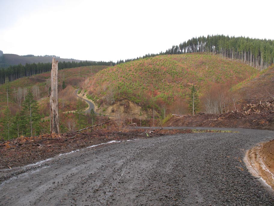
After last week's Dutch Canyon/Dixie Mountain ride, we were eager for a bit more gravel - and looking at the satellite photos on Google maps wasn't helping. Nothing was really sussed out, so we made it up as we went along this morning. Rode out the usual prep route on 30 to Scappoose, and then headed up Dutch Canyon.
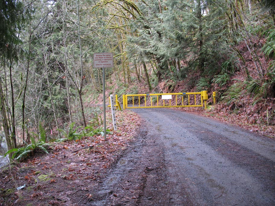
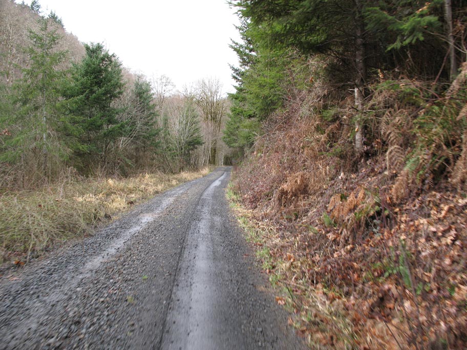
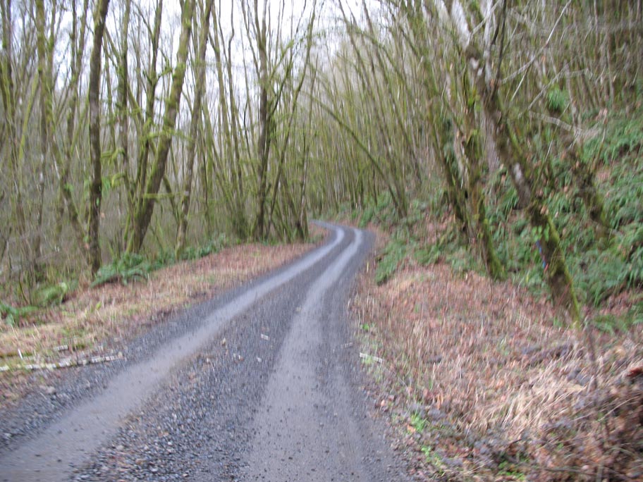
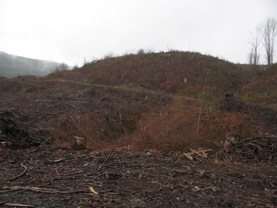
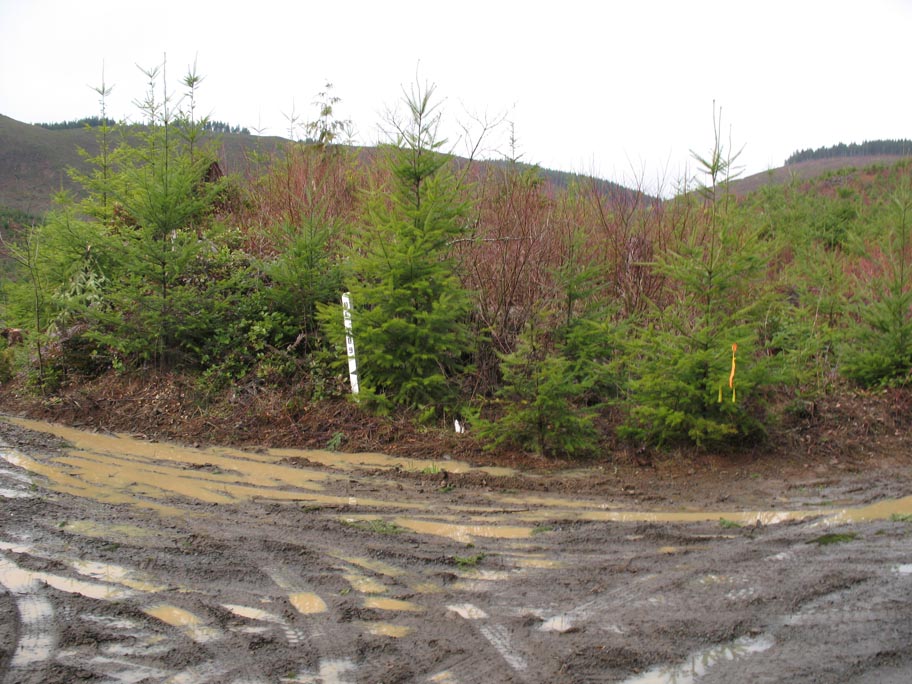
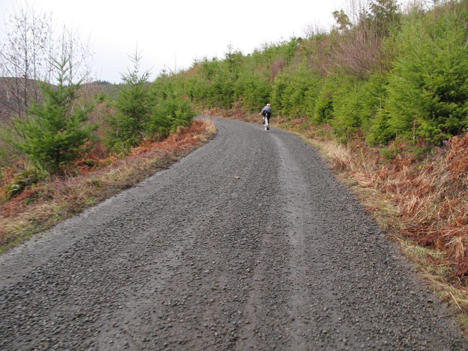
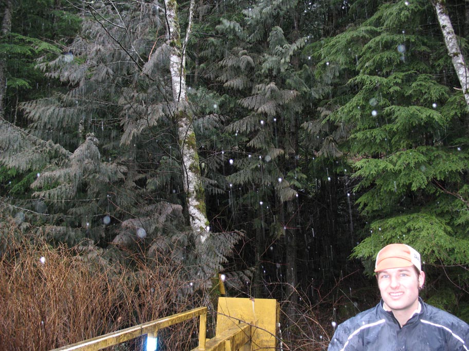
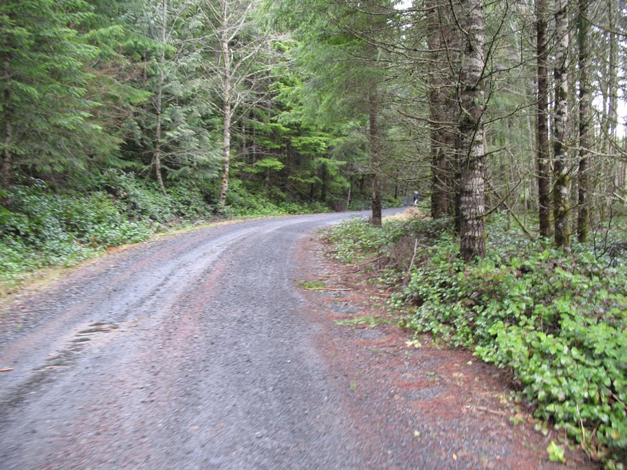
Past Otto Miller Rd, Dutch Canyon narrows a bit, and then "ends" in a locked gate as it turns into Dutch Canyon Mainline. This is where the fun begins. The road eases into gravel, and then kicks up - near-constantly for the next 5 miles or so. Roads aren't marked out here - it's all logging roads and various ages of clearcut - but if you keep following the "main" road you'll eventually end up at a big gravel pit, at which point we turned uphill to the right. Past this, it's more up, up, up and sooner or later you'll hit another locked gate. We'd been getting ocassional rain all along, but at this point some sleety rain started to kick in, and as we were hopping the gate, turned to snow. Not much, and it wasn't sticking cause the ground was wet, but it was sticking to my bar tape.
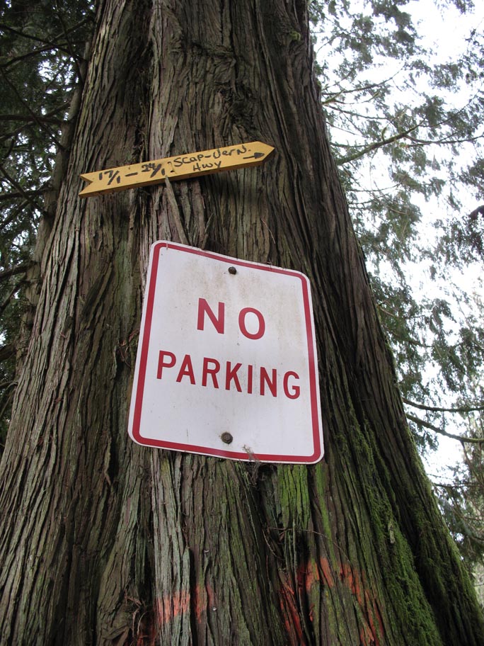
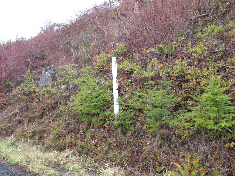
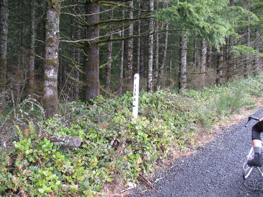
At this point, we were starting to get a bit knackered, and wondering if we really were where we thought we were (turns out, we were!). More up past the second gate, and theres a triangle intersection, which is just below where this road meets up with Bacona-Pisgah Home Rd (unmarked, of course) which is where we were hoping to link up to as part of our Scappoose-Vernonia gravel insanity.
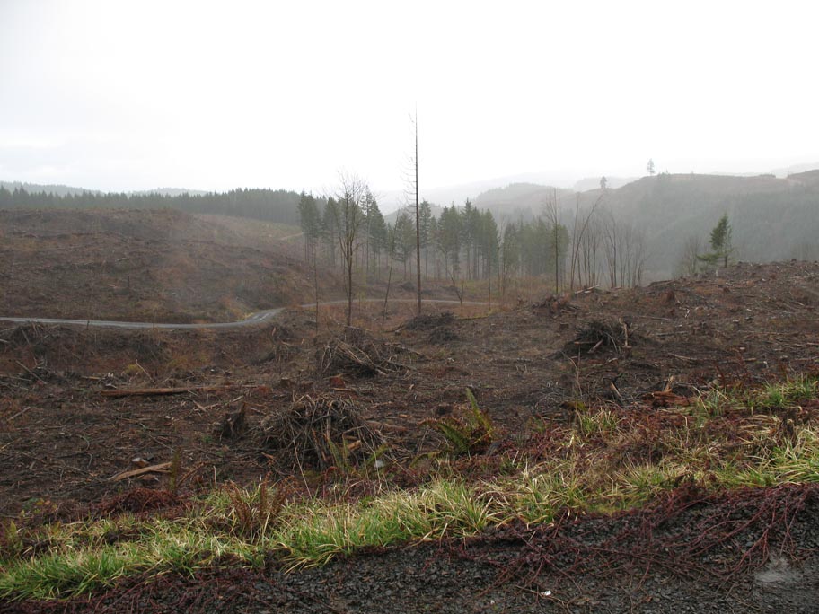
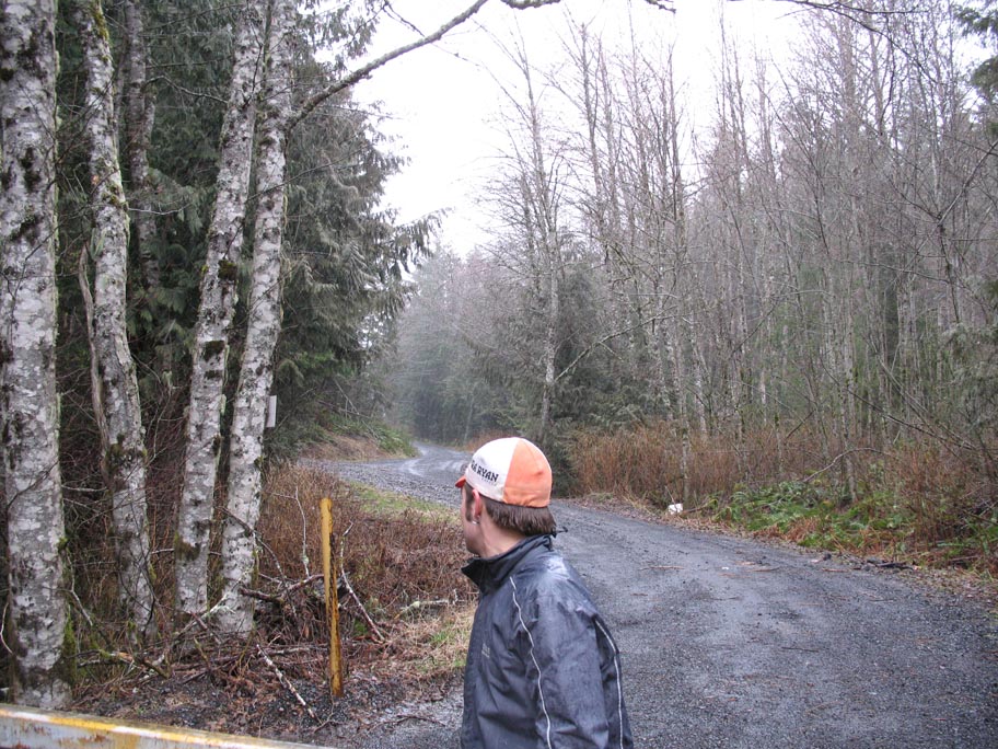
We then continued up Bacona-Pisgah Home until we crested the ridge, and dropped down to our next major intersection, which was with a connector to Pisgah Home Rd (and clearly marked no trespassing!), where we could see across to Scappoose-Vernonia Hwy. At this point, we were reluctant to begin the slog to Vernonia, as we didn't even really know what roads we were on, so we turned around and bombed the gravel downhill. Nice.
The route turns out something like this - it's best if you turn on the satellite overlay, cause the roads as marked in Google maps don't match up with what's really out there. Not too shabby, though - just over 10 miles from Hwy 30, and just over 2600 feet of climbing...